All posts by javakeda

Sailing Santa Monica Bay and San Pedro Channel since the 50s. Now sailing throughout the virtual world with sailonline.org

Puerto Aguirre – 2017

PuertoAguirreHarbor

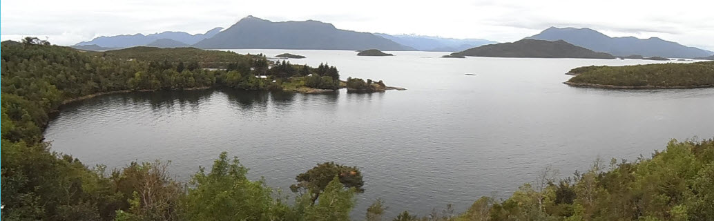
The race was designated a ‘sprint’, but the winds were light and the water almost glassy — just like it was in this photo looking east toward mainland Chile across a cove on the island of Puerto Aguirre.
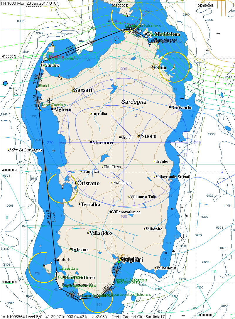
The light airs forecast in our WRF High Resolution GRIB made for a technical race that put a premium on keeping the boat moving while threading through a myriad of islas.
The length of the race favored skippers in the time zones of the Americas.
Continue reading Puerto Aguirre – 2017

40′ Series 2017 — The Sardinia Cup

The six race 2017 40′ Series Championship Q1&Q2  requires skippers to choose among three boats:

Click within the image for a full-size graphic
  1. The Ker 40
  2. The Class 40
  3. The SOTO 40

Each boat must be raced twice in the six races scheduled for Q1 & Q2 of 2017.  Sardinia was our first opportunity to test our ability to choose.

The Sardinia course was a great choice to kick-off the series.  The legs of the course cover all points of the compass — testing the polars of all three boats.
Here is how the race developed, plus some comments on skipper strategies in the series:
Continue reading 40′ Series 2017 — The Sardinia Cup

Doing the ZigZag with DCC

The Hawaiian ZigZag race is a personal favorite for me.  It’s a long CourseImagesprint through warm waters that bring back great memories.  This year, I was excited to test the Delay Command Checker software (DCC) during the race.

The DCC software surprised me both by how easy it was to use and by how many useful or time-saving features it offered.  DCC fit right in with my routing software.  That said, it would work well [perhaps providing even more benefits] for SOTP skippers

Continue reading Doing the ZigZag with DCC

Well Filtered Caribbean Rum

CRRcourseMapWindardsFilter The course of the Caribbean Rum Run stretches from the Barbados in the east to Cancun in the west.  While the an aggregate rhumb-line of the race almost 1800 nm — much longer when measuring ‘on the water’ distance — it is convenient to look at the run as a series of short races.  Each of these short races acts on the SOL fleet like a filter.  Each filter presents a different challenge.  The first challenge is passing through the Windwards Islands. Continue reading Well Filtered Caribbean Rum

Zigging, Zagging & Polar Hopping

One look at the course, slaloming  through all of the main islands, is enough to explain why this race is The Hawaiian Zig Zag.

SeaCart30diagram
Sea Cart 30 Polar Diagram (click for larger image)

But one look at the polar chart makes it clear that some of the zigzagging will come from avoiding the speed trough on the beam when the wind is in single digits.

Light airs are common in the channels between the islands.  The tradewinds blow in from the east, but split when they encounter Hawaii’s volcanic mountains.

Mauna Kea and Mauna Loa, on The Big Island, extend 13,784ft and 13,680 ft respectively above sea level.  Add in 10,025ft Halealeka on Maui and you get quite a wind shadow.  The combination of the slalom course, the lumpy polar, and light airs made for active skippering.  

Continue reading Zigging, Zagging & Polar Hopping

Around the Bend on the Bay of Biscay

WindContoursAtStart
The course — with winds at starting time

At first glance, this race looked to be a simple reach up the coast.  At least that is how it would be if the initial winds held.

Yes, there was an island to deal with near the finish.  But odds were we would leave the island to starboard — problem solved.  This race seemed to be routine.

But as the ‘Mad Russian‘ character from Jack Benny’s radio show would have said, “Silly Boy!” The race was far from routine.

Continue reading Around the Bend on the Bay of Biscay

Blown Away by Hi-Res Winds!

When Andrea [ita10267] first suggested that we could race with winds forecast in high resolution I was blown away.  I believed the potential benefit from such winds to SOL and SOLers would be immense — at least in theory.

Starting Route
Route at the start.

But would we be able to see the difference in the winds?

Would the winning routes be different from those sailed with lower resolution winds?

And how would the high resolution winds work with routing software?

Time to put theory into practice.

Continue reading Blown Away by Hi-Res Winds!